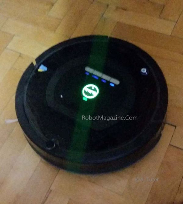
Robot vacuums are among the most widely adopted forms of domestic robotics. They autonomously navigate their environment while simultaneously performing mapping and cleaning tasks. In this article, we will examine the underlying mechanisms that enable their operation.
Navigation can be implemented using relatively simple methods or through more advanced, sensor-driven approaches.
The simple method basically involves the robot randomly bumping into obstacles (using a contact switch), sensing a cliff (with a downward-pointing infrared sensor), or detecting a large object (with an infrared sensor) and then changing direction. The robot does not build a map of the environment in this method, but over time, these random movements—combined with wall following and curved paths—help clean most of the area. However, this approach is not very efficient, and some spots may remain uncleaned.
The mid-range, semi-structured navigation models can prepare basic maps of the environment. In addition to sensors mentioned above, they can also have accelerometer which measures changes in movement, gyroscope which measures quantity and direction of robot’s rotation, and wheel rotation sensors which track the distance traveled and direction, all of which are combined to prepare map of the environment using “dead reckoning” principle. They do not wander randomly but can follow organized zigzag and spiral patterns. With this method, cleaning is usually more complete than the basic method.
We mentioned dead reckoning above. Dead reckoning is a method of calculating position, starting with the last known position, when external references such as GPS satellites are not available. For example ships, drones and planes may also sometimes need to rely on dead reckoning only, when connection with satellites are lost. The main disadvantage of this system is that even small errors accumulate over time, leading to gradually less reliable results, the longer the system operates without satellite connection.
And finally there is the advanced navigation systems that combine mapping, localization, and AI. These systems often rely on SLAM (Simultaneous Localization and Mapping) algorithms. A spinning LiDAR sensor scans the environment, measures distances to objects, and creates detailed maps, while cameras identify landmark objects, walls, corners. Wheel movement data (odometry) further enhances positioning accuracy. By integrating these inputs, robots can plan the most efficient paths by using path planning algorithms, avoid obstacles in real-time, and adapt to changes in the environment. Advanced AI features allow robots to distinguish different rooms, such as kitchens and living areas, and establish no-entry zones or restricted areas. Some models even support dynamic mapping for multi-floor homes or rearranged furniture, ensuring reliable navigation under any conditions.
Post By: A. Tuter
——————————————————
Terms of Use:
Copying or republishing our content is not allowed without written permission. We maintain dated records and keep originals of all posts and images. The content on this website may be incorrect or incomplete, and the user assumes all liability and risk when using it. Also see our Terms page.